3 km N of Alsunga, 470 m N of the Ruņģi homestead, in a grassy place, 15 m off the former Ventspils–Liepāja railway embankment, 150 m N of the 72/73 km post of the former railway.
3 km N of Alsunga, 470 m N of the Ruņģi homestead, in a grassy place, 15 m off the former Ventspils–Liepāja railway embankment, 150 m N of the 72/73 km post of the former railway.
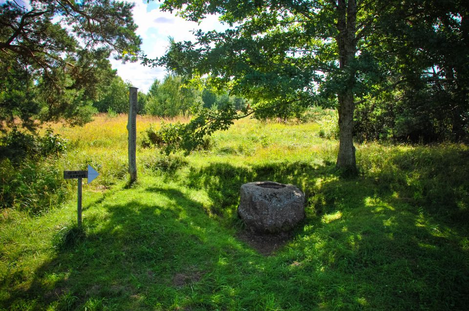
About 1 km NE from Embūte, around 150 m W from the Embūte–Skrunda road, 100 m from the unpopulated Pilskalni homestead, in an underbrushy forest.
3 km S from the centre of Rucava, 150 m W from Vecvismini homestead and 36 m S from the nearest gravel road leading from Vecvismini to the Klaipēda–Liepāja highway.
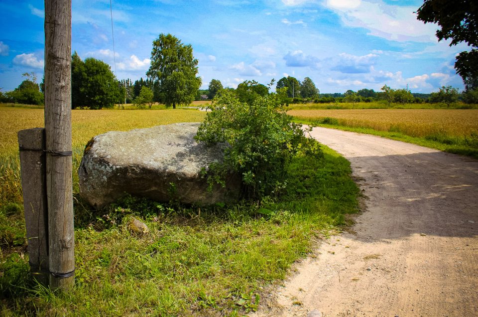
On a meadow edge, 100 m seawards (to the W) from the Grobiņa–Ventspils highway, opposite to the Medze Peaked Hill, not far from the former shop building.
In the Sventāja River valley, in the middle of the right bedrock coast slope, about 290 m from the Pērkoni 1st Cup-Marked Stone.
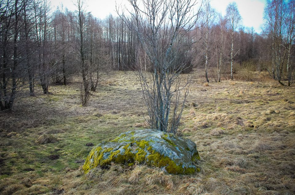
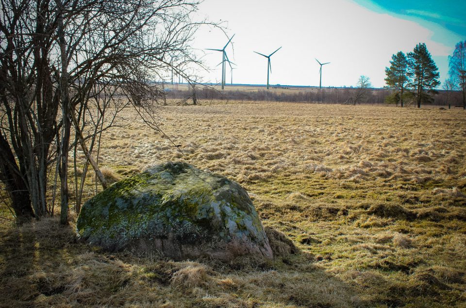
On the verge of the Ventkalni homestead’s road, in a meadow, on a slope, in an open area, 80 m of the highway to Talsi.
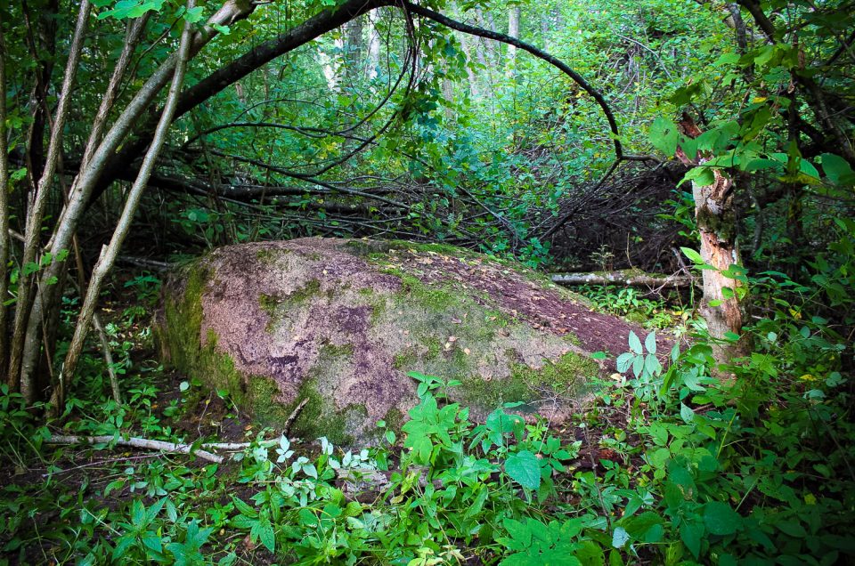
About 400 m SW from the Vecšauļi homestead and about 100 m from the right bank of the Vadakste River, in thick alden underbrush which has covered the former meadows.
In the Sventāja River valley, on the top part of the right bank slope, 300 m E from the Pērkoni homestead, around 300 m from the river (which is the border between Latvia and Lithuania), 50 m from where the steep slope of the valley begins, in the belt that separates fields, next to a small bush.
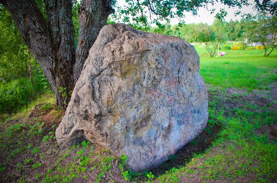
In Ulmale, about 700 m E from the Liepāja–Ventspils highway, about 70 m W from Jaunozoli homestead, in a rather open place at a small gravel road, next to a stand of several trees. The former Ozoli, now Silmales, homestead at which the stone is often oriented is situated further — 200 m E from the stone.
