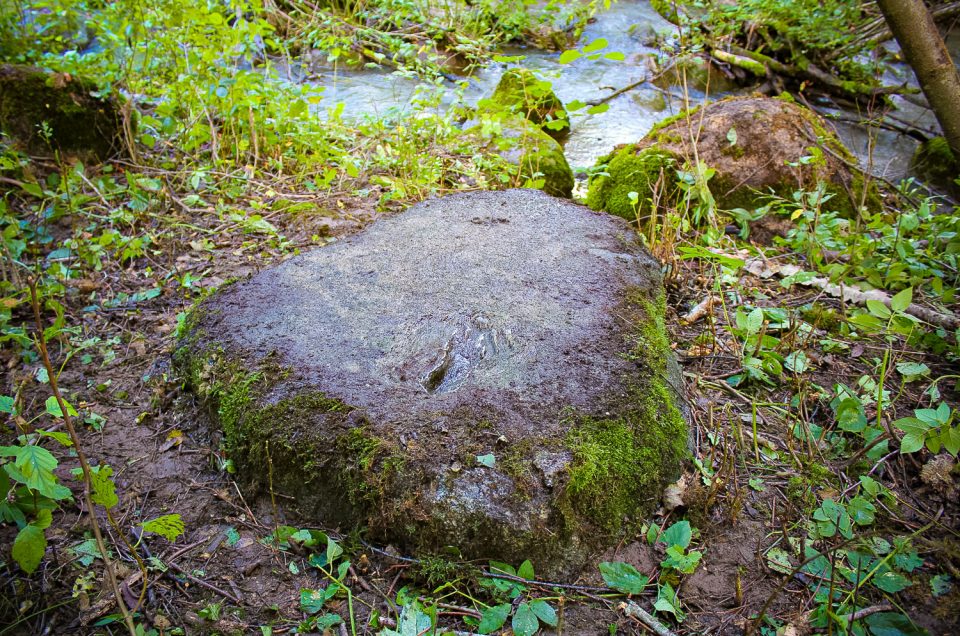
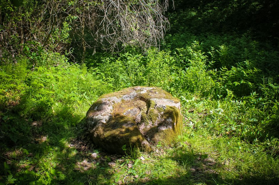
About 4.5 km W from Ezere, in the ravine of the Vadakste River tributary — Rīkstrauts, 2 m from the river, on the right bank, in bushes. The nearest homestead — Gaitnieki (former Mežūbulaiši) about 200 m W from the stone.
About 4.5 km W from Ezere, in the ravine of the Vadakste River tributary — Rīkstrauts, 2 m from the river, on the right bank, in bushes. The nearest homestead — Gaitnieki (former Mežūbulaiši) about 200 m W from the stone.
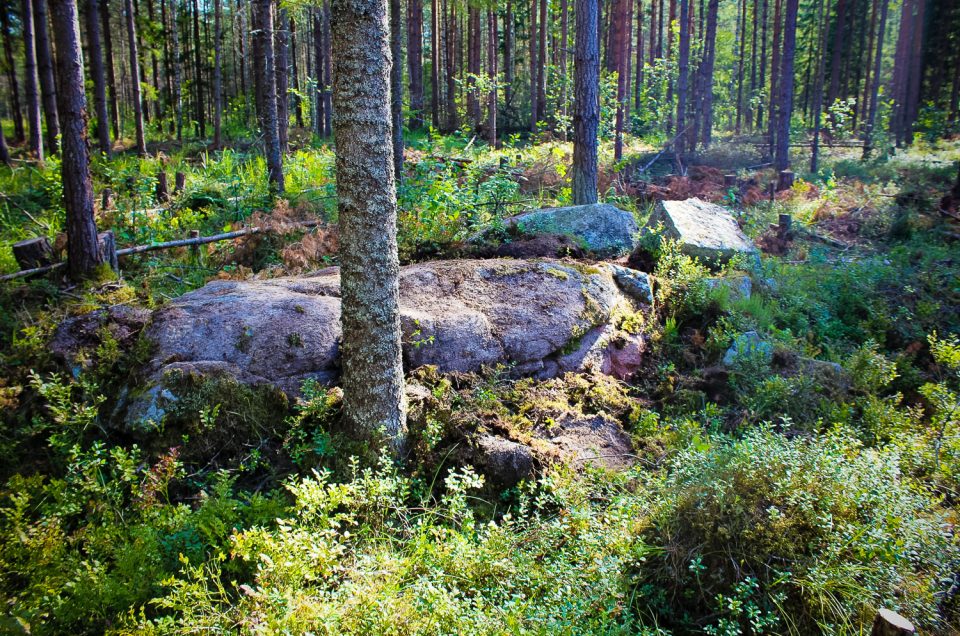
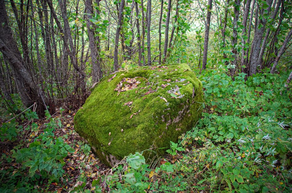
540 m SW of the Mežputniņi homestead (in the territory of the Vandzene Parish), in damp coniferous woods.
In the side ravine of the Lētīža River right bank, about 9.5 km from Nīgrande and 1.3 km N-NE from Meldzere cemetary. The hollow stone lies in an unpopulated area.
On the right side of the Priekule–Skoda highway, 6 km from Priekule, at the bus stop „Bērzi”, in bushes, 11.5 m from the highway and 14 m from the bus stop.
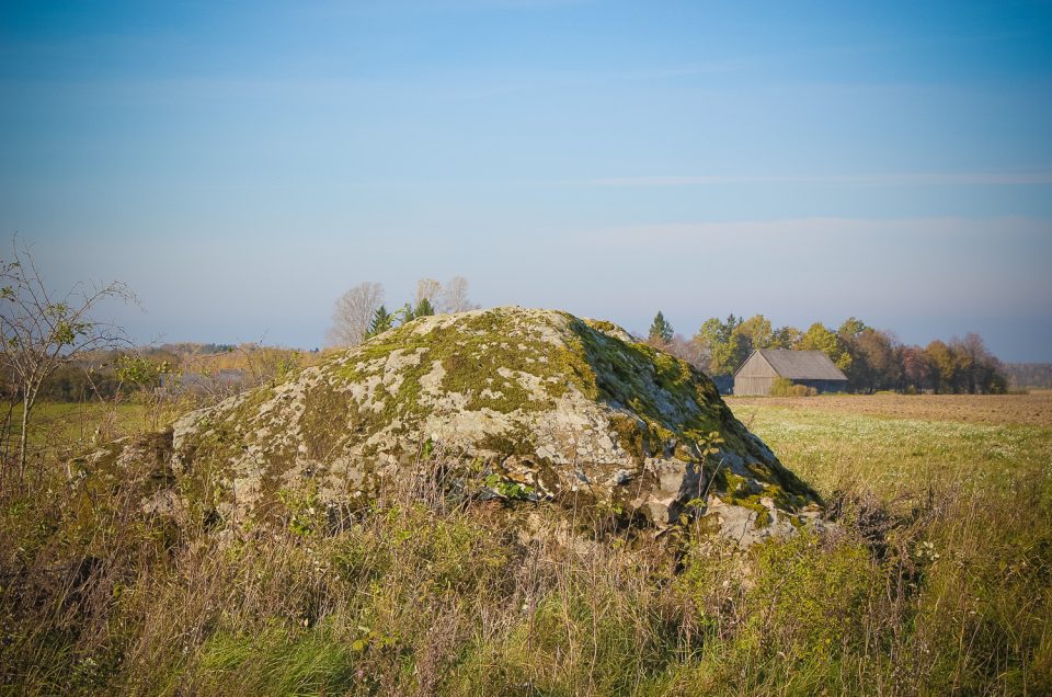
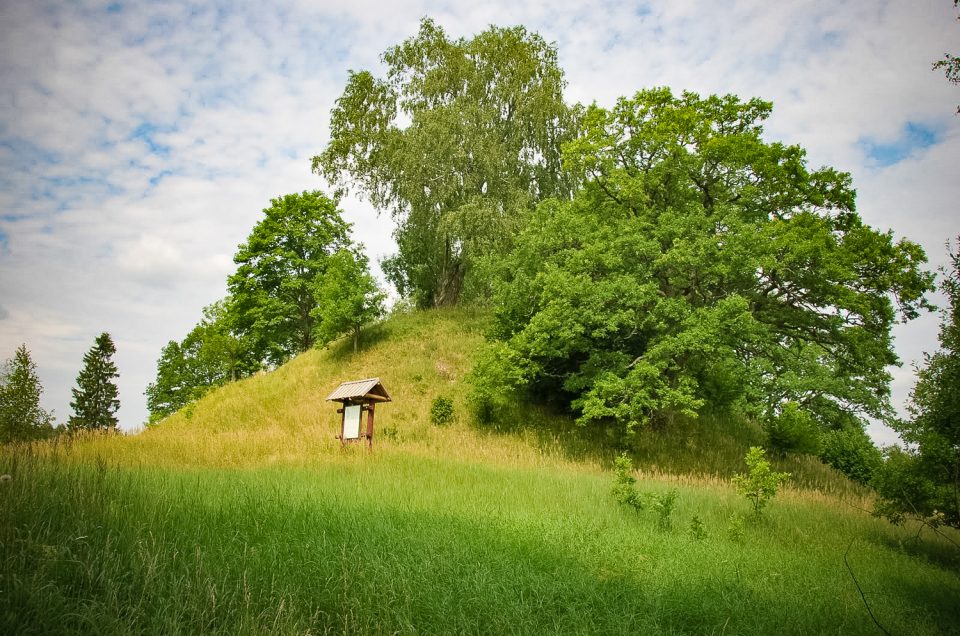
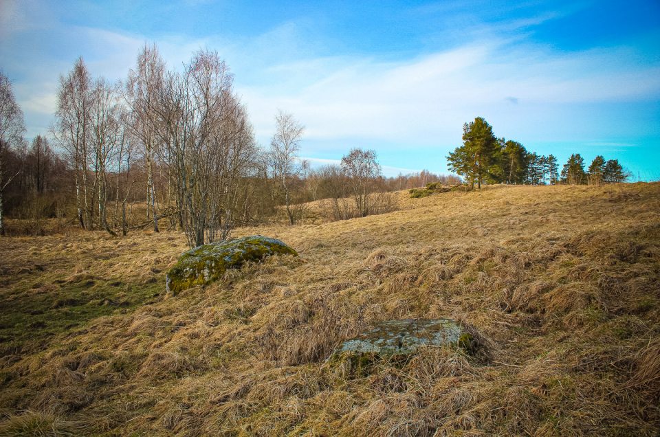
500 m NE of Māteri, 100 m S of the Māteri Cemetery. The Devil’s Foot Stone is located on top of a gently sloping hill — Liepkalns Hill, in a clear meadow.
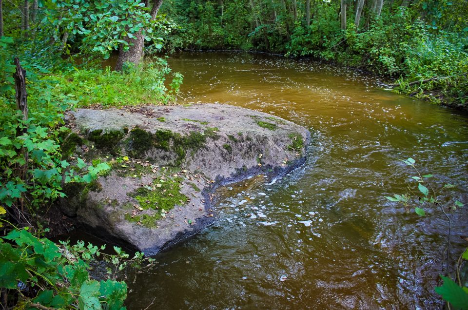
2 km S from Kazdanga, 100 m E from Kazdanga (Valāta) Hillfort, on the left bank and in the bed of the Alokste River.
In the Sventāja River valley, in the middle of the right bedrock coast slope, about 285 m from the 1st Pērkoni Cup-Marked Stone and 5 m from the 2nd Pērkoni Cup-Marked Stone.
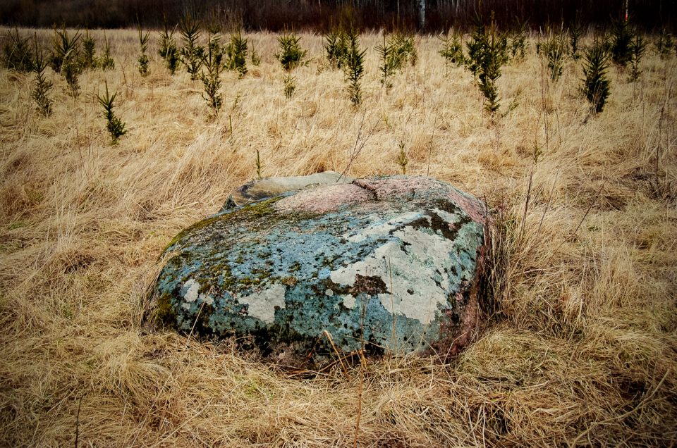
Not far from the Latvian-Lithuanian border, 160 m NE from the 1st Lukne cup-marked stone, about 250 m from the partly abandoned Lukne manor, in a meadow where young fir trees have been planted.
