Search for:
Search Button
Home
About project
Project “Senvietas.lv” / “Ancientsites.lv”
Project “Cult Identity”
Google Maps
OpenStreetMap
General information about project “Cult Identity”
Project “Cult Identity” documents
Project “Cult Identity” tourism maps
TV Project
Book “The Ancient Cult Sites of Zemgale Region”
Objects
Ancient burial grounds
Caves
Hills
Labyrinth
Lakes
Places
Ravines
Rivers
Springs
Stones
Trees
Routes
Estonia
Juuru Parish
TOP 5 in Juuru Region
Latvia
Riga Planning Region
Kurzeme’s Treasures
Riga Area Sacred Sites
Vidzeme Circle
Sweden
TOP 10 in Gävleborg
Gallery
3D models
Cult Identity
Estonia
Juuru Parish
Muhu Parish
Latvia
Rīga region
Kurzeme region
Vidzeme region
Zemgale region
Sweden
Gävleborg
Places within a 10 km radius
No data
Platser inom en radie på 10 km
Inga data
Latvian hillforts
Hillforts.eu
Open data repository
E-Mail
Search for:
Search Button
Home
About project
Project “Senvietas.lv” / “Ancientsites.lv”
Project “Cult Identity”
Google Maps
OpenStreetMap
General information about project “Cult Identity”
Project “Cult Identity” documents
Project “Cult Identity” tourism maps
TV Project
Book “The Ancient Cult Sites of Zemgale Region”
Objects
Ancient burial grounds
Caves
Hills
Labyrinth
Lakes
Places
Ravines
Rivers
Springs
Stones
Trees
Routes
Estonia
Juuru Parish
TOP 5 in Juuru Region
Latvia
Riga Planning Region
Kurzeme’s Treasures
Riga Area Sacred Sites
Vidzeme Circle
Sweden
TOP 10 in Gävleborg
Gallery
3D models
Cult Identity
Estonia
Juuru Parish
Muhu Parish
Latvia
Rīga region
Kurzeme region
Vidzeme region
Zemgale region
Sweden
Gävleborg
+
–
⇧
›
©
OpenStreetMap
contributors.
Plugin
100 km
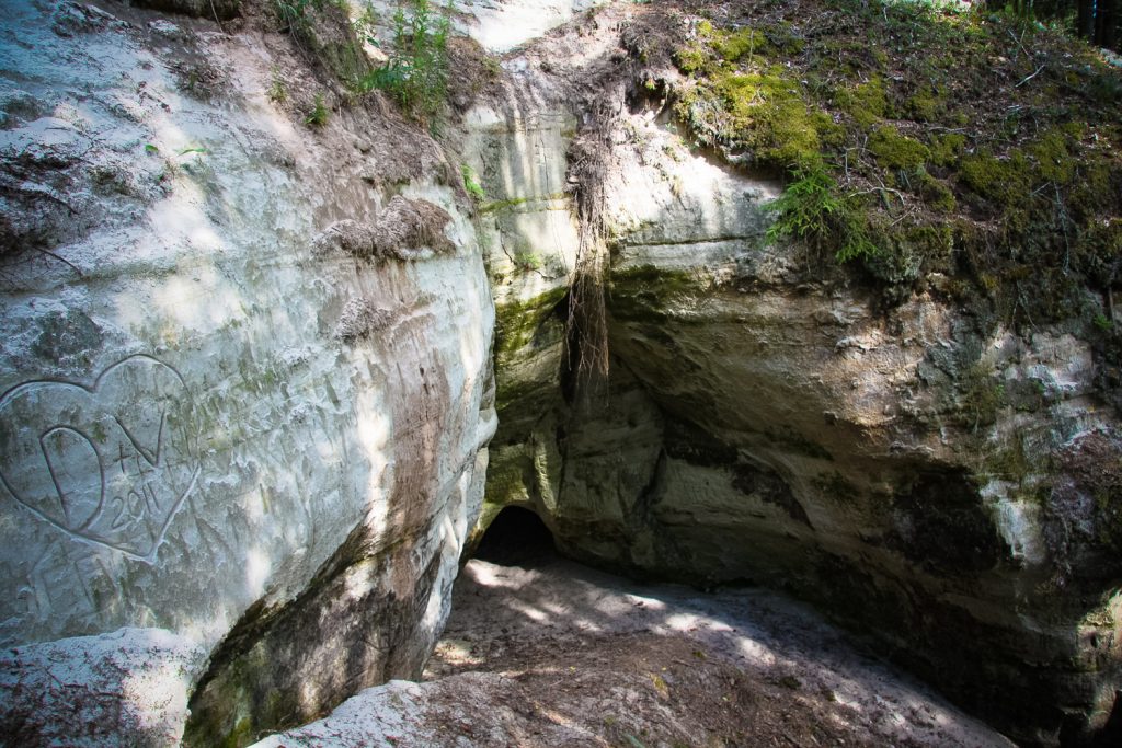
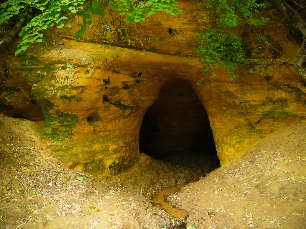
Sietiņiezis Rock and its Devil’s Cave
Read more
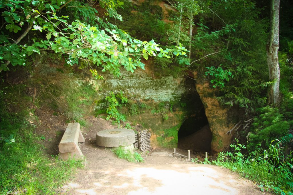
Souring Tub Spring and the Cave
Read more
Vīksnas Devil’s Cave
Read more
1
2
Added by
Gatis Kalniņš
Founder and maintainer of www.latvijas-pilskalni.lv, www.senvietas.lv and hillforts.eu.