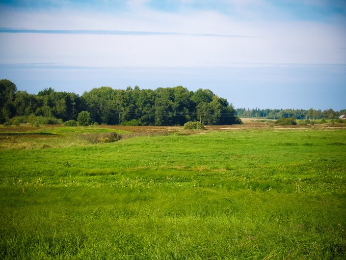
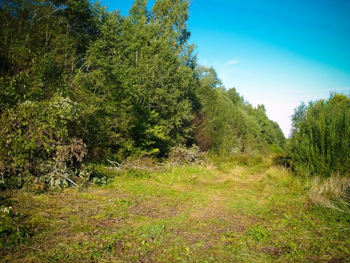
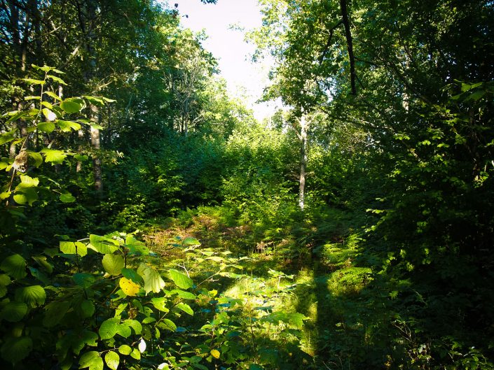
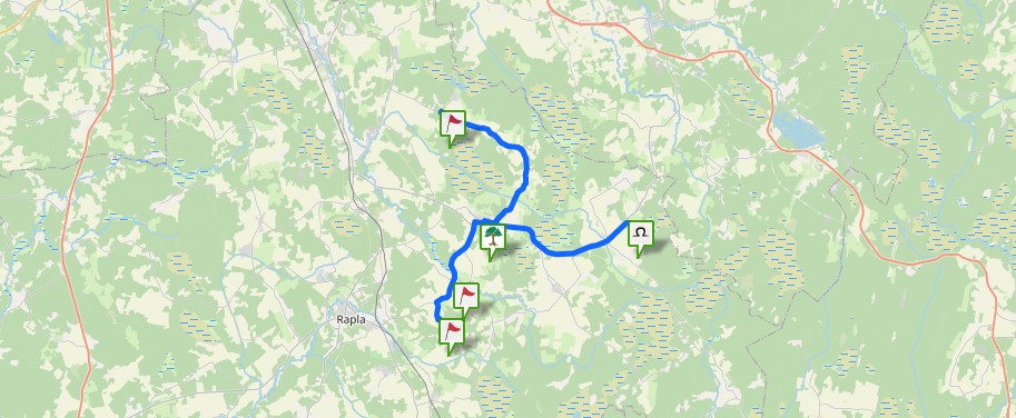
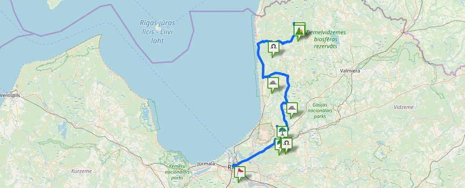
The first news about the Kaniņi Hill as a hill fort was recorded in 1929, but in 1932 the monument was described in more detail by A. Gusars. The hill fort overgrown by trees is situated in NW – SE direction, in the NW end of the oriented elevation. The elevation, which is rising above the drained meadow 9 m in height, is parallel to the Aģe River and is forming the ancient bank of the river’s left bank. The dredged river is now turned off the hill fort for 150 m. The NW end of the elevation is detached from the remaining part by 6 m deep dug-ups, from which the dug up ground forms a 20 m long and 2.5 m high horseshoe-shaped rampart in the SE end. The lower part of the hill fort had been leveled, it is 80 m long and 18–24 m wide. In the NW part of the plateau, there had been a 12 m long and 1.3 m high rampart dug, but on the slope of the NW end of the hill fort, there is one more 15 m long and almost one meter high rampart. All over the Kaniņi Hill, already in older times, there had been approximately 10 small size gravel pits dug, which, nevertheless, have not changed the form of the hill fort significantly. At the NE foot of the hill fort, there used to be a dam, probably built for protecting the hillfort by means of water dam. During drainage works, the dam had been leveled. On the hillfort’s plateau and the slope, there was a 0.25–0.35 m deep cultural layer established, where, they say, there had been a finger ring found. It is possible that the Kaniņi Hill of Vidriži is related to Lēdurga mentioned in the Chronicle of Henry of Livonia, because in Lēdurga itself there is no hill fort known. Tales provide evidence of the probable sacral significance of the hill, stating that once there was a church on the hill. On the Kaniņi Hill about ten years ago, there was underbush cut out, but now the hill has been overgrown by impassable young forest stand and the hill, especially its plateau, is hardly walkable. (Urtāns, 1995, with addendum)
It is of interest only to specialists. Although, if infrastructure facilitated, it could become an interesting sightseeing object.
