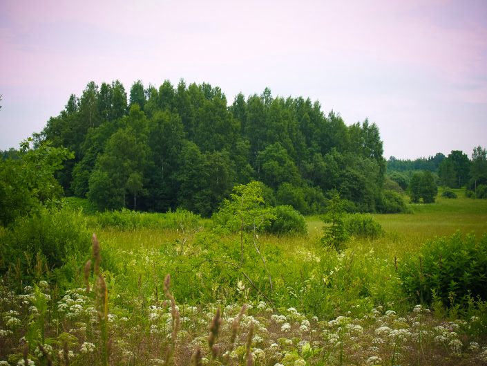
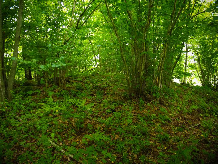
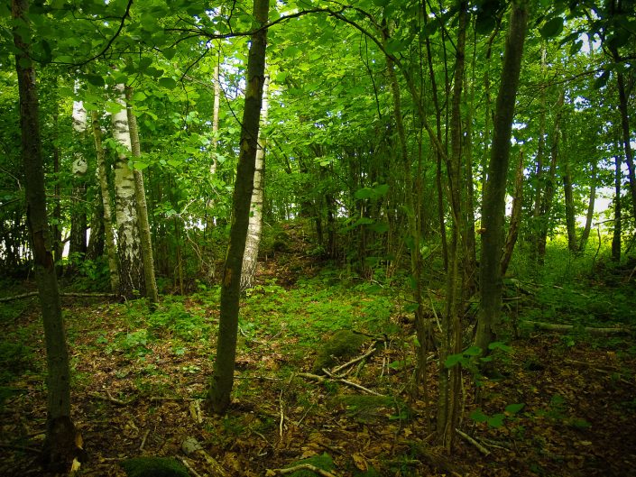
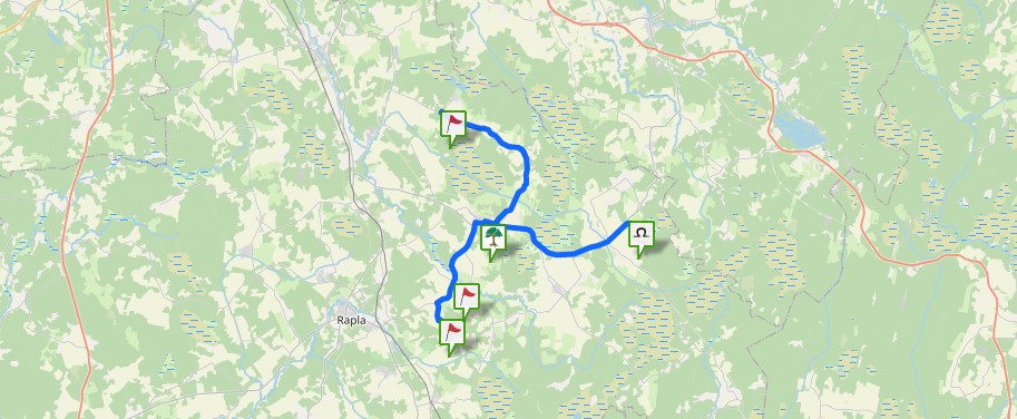
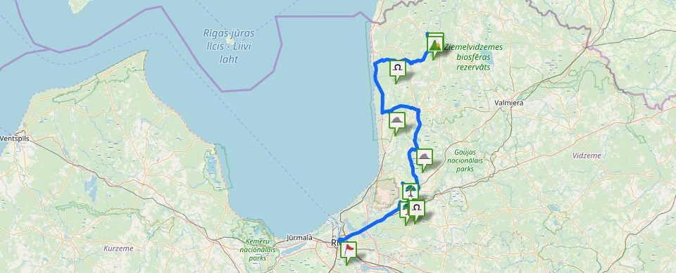
The Church Hill which is embraced by pastureland also used in nowadays is situated behind a soft lowland about 100 m in SE direction of the Krogkalni homestead’s ruins on the left bank of the Arupīte river opposite the Apšukalni homestead, which is located on the opposite bank of the river. The Church Hill, rising above the nearby surroundings gradually for up to 3 – 4 m, is overgrown by deciduous trees and bush; it is oriented approximately in NNW – SSE direction. All over its area (length about 60 – 70 m, width about 30 – 40 m) under the trees and bushes, there are both separate stones, piles of stones, and cairns. The largest and most featured cairn is located in N end of the Church Hill. It is about 1.5 m high, diameter of about 15 m, composed mostly of stones. The other less featured cairn is situated a little further in the direction of the central part of the Church Hill. This cairn is about 0.5 m high and about 9 m in diameter. It is possible that there are also other cairns in the Church Hill which could not be notices at the moment though. Along the foot of the cairn, there are stones which, it seems, have been taken there from the field. Around the cairns there are many separate stones, small piles of stones or compilations of stones, formations of microrelief. In tales, this place has been marked as the Church Hill or Hill where the Church was situated. The cairns point at an ancient burial ground of the 1st century BC and 1st century AD.
Between the Noriņi and Krogkalni homesteads, the forest has been cut out; the clearing is overgrown now, but still one can notice that in the clearing place and in wider surroundings there are quite a lot of separate larger stones.
