Location
State: Sweden
Region: Gavle
County: Gävleborg
Parish: Harmånger
Other references to the location
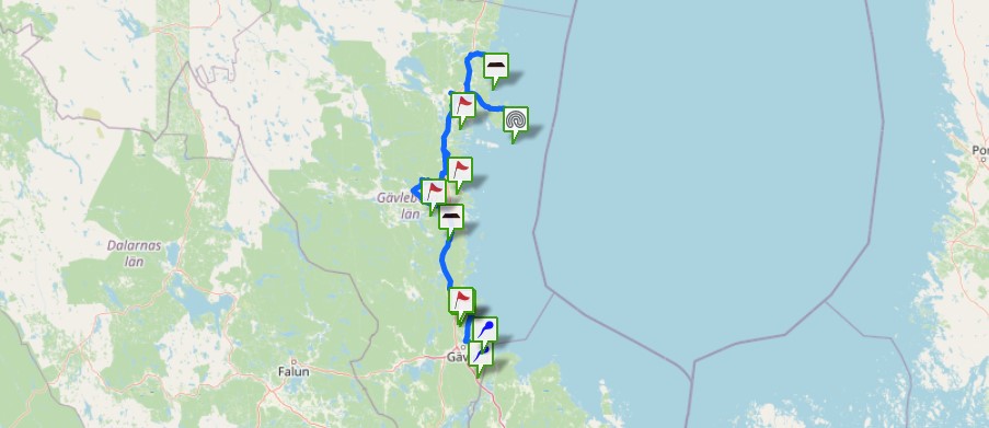
A forest path south of the lake Kunnsjön, west of Strömsbruk, Harmånger
Coordinates
lat=61.863891505168, lon=17.18575823147
61° 51′ 50″ N, 17° 11′ 8″ E
Description
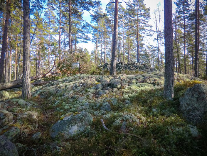
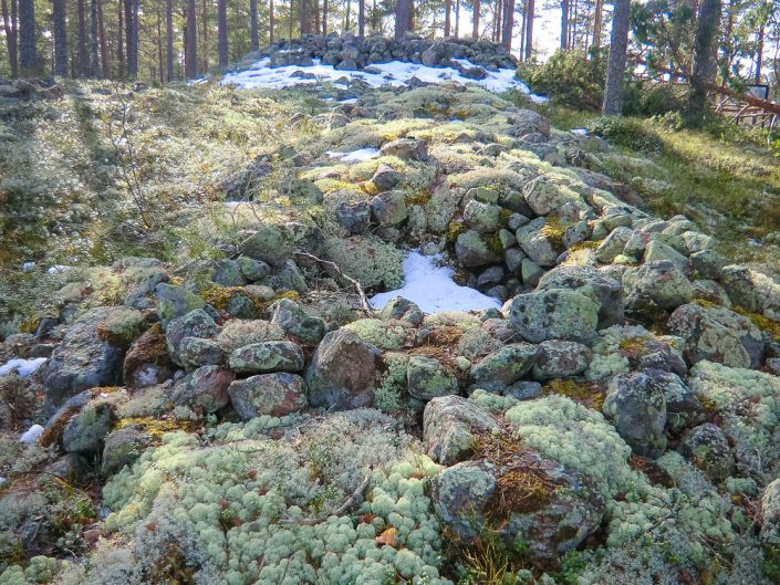
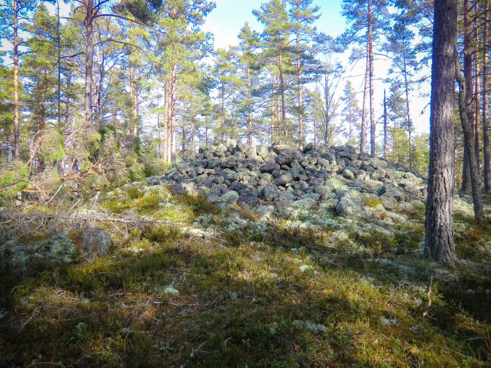
Cairns (round, long) and stone settings along a forest path. There are also old charcoal stacks in the area.
Narrative
Bronze Age cairns were built to honor the dead, to keep the dead from haunting the living, and to mark the territory of the tribe
Attraction
Ancient remains and a historic path in the forest
Availability
200 meters from a smaller car road
Infrastructure, management, facilities
No infrastructure on the site
Local info
No information on the spot
Capacity
41 and more
Publicity
Known
Legal Status
Legal Entities