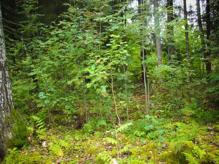
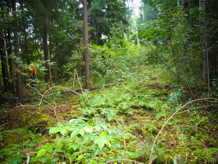
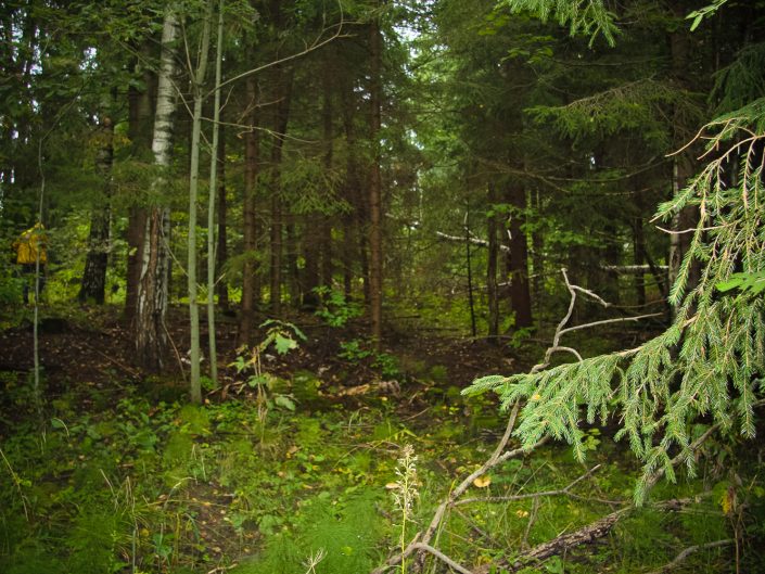
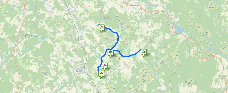
Local archaeological heritage (State Inspection for Heritage Protection, No 1623). The Ošinieki Church Hill is located on the left bank of the Briedaine River, S of the Ošinieki, in the woods. It is the highest point in the surroundings. The hill has an even quadrangular surface (50 x 20 m); from the homestead’s side it is approximately 20 m high. (D. Čuders, 1981, Archive of the Scientific Council on Museum and Cultural Heritage, inventory No 17653 4382 4)
They say in ancient times on the hill there used to be a church, but the river behind the hill is holy, because it flows against the Sun — it is recommended to wash oneself in its water. (R. Avotiņa. Madona District: Hills, Rivers, Lakes, Marsh, Woods (Kalni, upes, ezeri, purvi, meži). Vocabulary of Geographical Place Names. 1999) “The name “church” denotes not only a Christian temple, but also ancient pagan shrines. Hill forts and other hills are often described in folklore by tales about sunk churches, the bells of which can still be heard at times; there are also tales and legends that people used to gather there at special occasions, that children were taken there for baptizing. On the highest points of such hills it is usually established that there used to be shrines with, probably, idols’ images at the corners and the central idol. Other names for such places are the Māra’s Shrine, Māra’s Church. These places are usually hillocks that stand out in scenery and can be seen at a distance; probably, roads from different directions led up there. It is possible that on the sites of ancient shrines later first wooden, then brick churches, chapels, bell towers were built. The sunk church is a metaphor in a way to the fact that ancient sacred sites have disappeared for good.” (J. Urtāns, Scientific Publication of LSSR, 1990, Materials of Scientific Report Session on Archaeologist’ and Ethnographers’ Research Results of 1988-1989)
