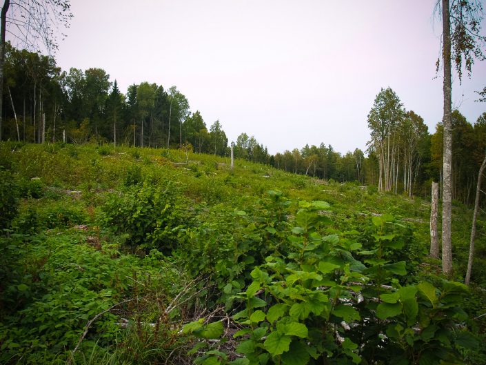
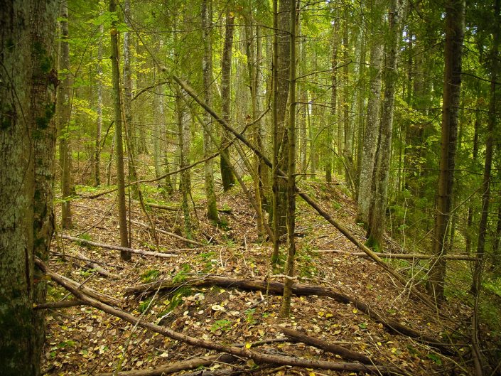
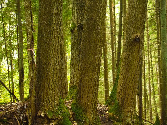
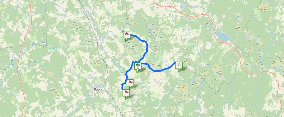
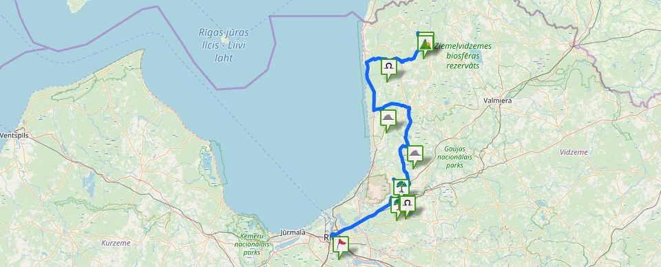
Oškalns Hill, as the 19th century recordings suggest, featured stone layers and a furrow. Oškalns Hill represents a hill massive or island surrounded by swamps and forests and only one road has always lead to it and it is still so. The average diametre of the hill in the E – W direction is around 700 m, in the N – S direction – around 500 m, the height above the surrounding peat soil pine forest is around 25 m, the slightly gentler E slope was cut clean about a year ago and is starting to overgrow with bushes. However, due to the surrounding forest the Oškalns Hill does not visually stand out as expressively as it can be seen in maps. The W, NW, SW part of the hill that has a sharper height difference with the peat soil pine forest is covered with a deciduous and mixed forest. Some of the big deciduous trees (oaks, birches) have several trunks growing from one stump as it can be seen in other ancient detached, island-type shrines (Zebrene Idols’ Hill , Bārbele Pilveri Hillfort). In this part of the hill and its slopes feature many big, however, old dug holes. The ground in the N side of the hill seems slightly darker, however, it cannot be considered a cultural layer. It seems that the major part of the holes are old sand and/or gravel excavations, however, it is possible that there have been holes with other designations in the hill, although it cannot be considered a site for a typical subterranean building. In the gently sloping E part of the hill there are no holes. There are no stone layers indicated in the previous records, nor individual stones, however, the top part of the hill has been considerably dug off and the stones might have been there. Due to its detachment Oškalns Hill has also been used as a refuge during wars.
There were only some data about Oškalns Hill as a shrine; it seems that no specialist has previously visited the site. The map where an elevation with the name appears, indicated that Oškalns is far from populated areas, in a boggy forest and might be difficult to access, however, on the spot it turned out that a recently improved, gravel-covered forest road leads to the Oškalns Hill ending in a vast, gravel-covered area where most likely forest machinery can be turned around. There are no signs about the Oškalns Hill and the newly created road does not appear in maps either. The road begins behind the ruins of a farm. The hill is partly a private property and partly belongs to Latvijas Valsts Meži.
