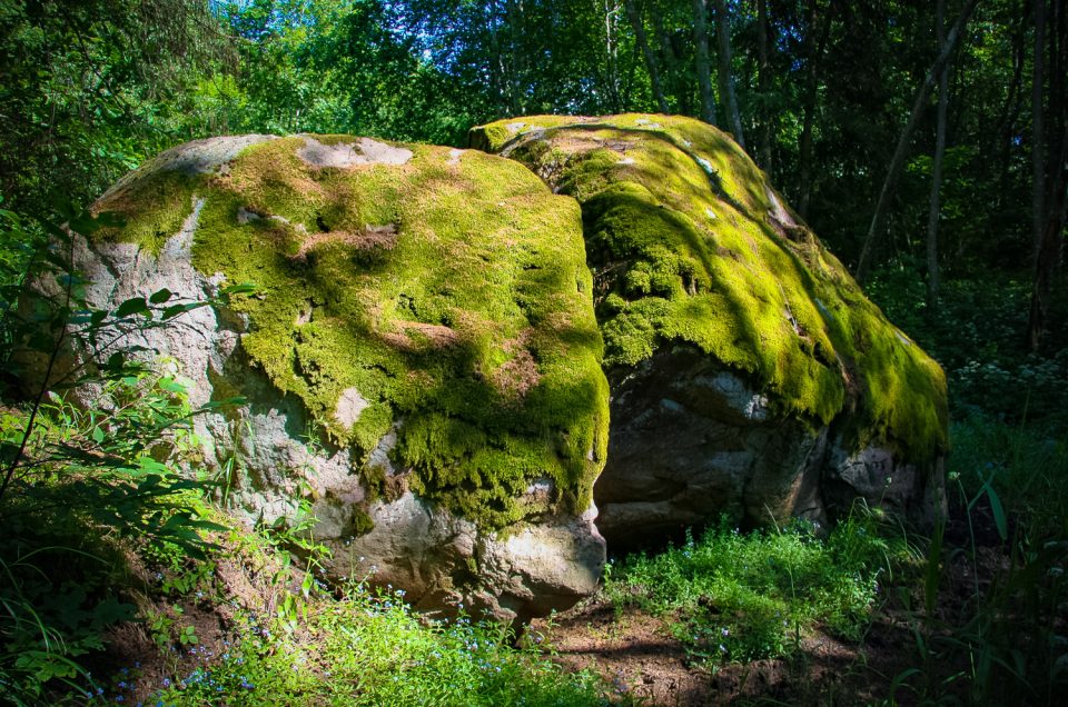
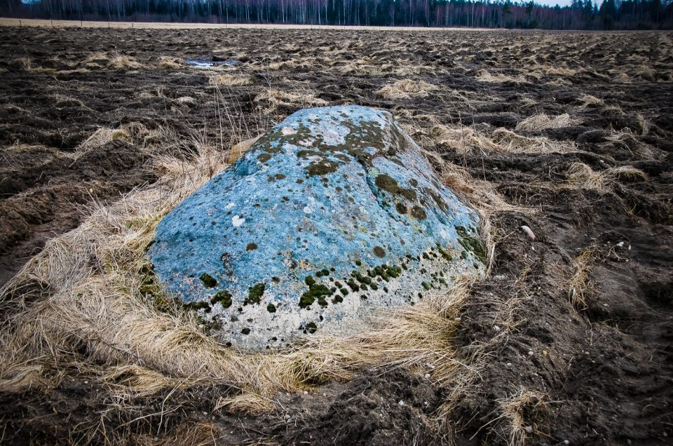
It is located about 400 m south-east of the Irbēni homestead, in the bed of the Maurupīte River.
Project “Cult Identity”
At the Straume Creamery and the Daviņi homestead, about 100 m upwards the intersection of the Valmiera–Mazsalaca road and a small river
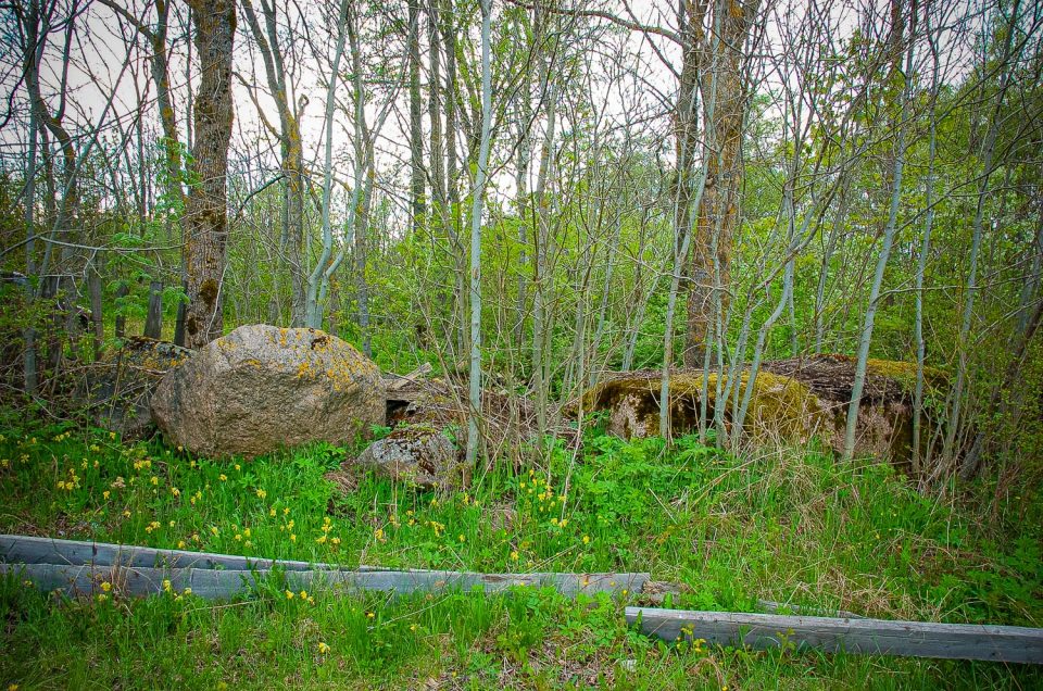
Nõmmküla, to the East of the Seanina road continue for 165 m along the soil road towards the Hansuvälja farm, from there follow the soil road between stone fences for 70 m to the North-East, in the corner of the field by the forest.
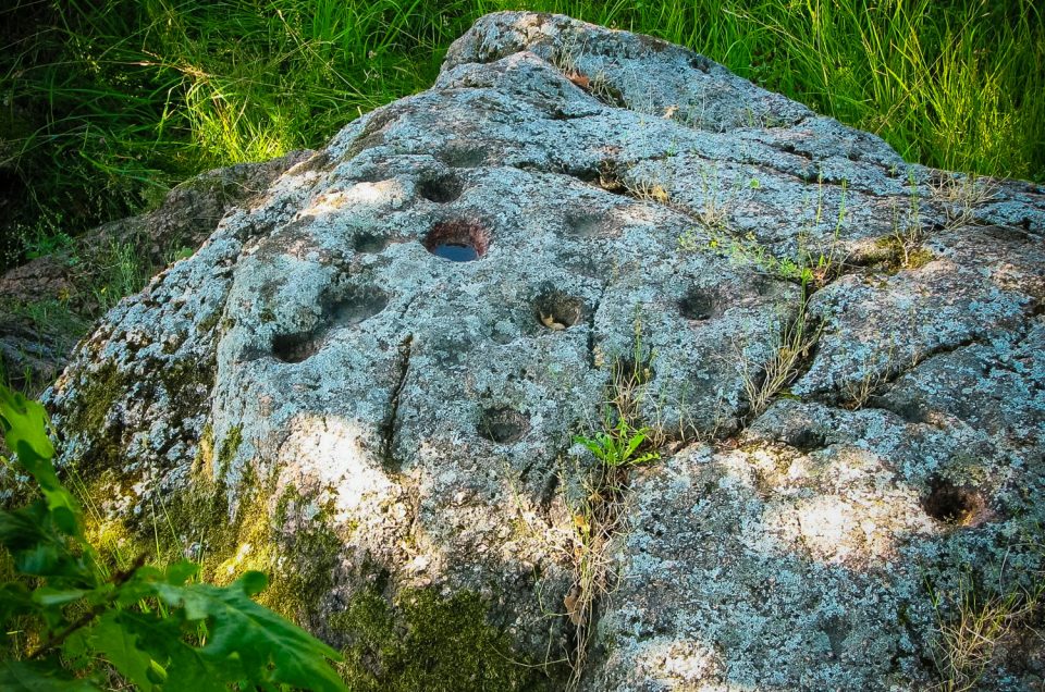
Hõreda village, 75 m to the East of the Juuru – Hõreda – Rapla road, 5 m to the North of the soil path on an untended grassland.
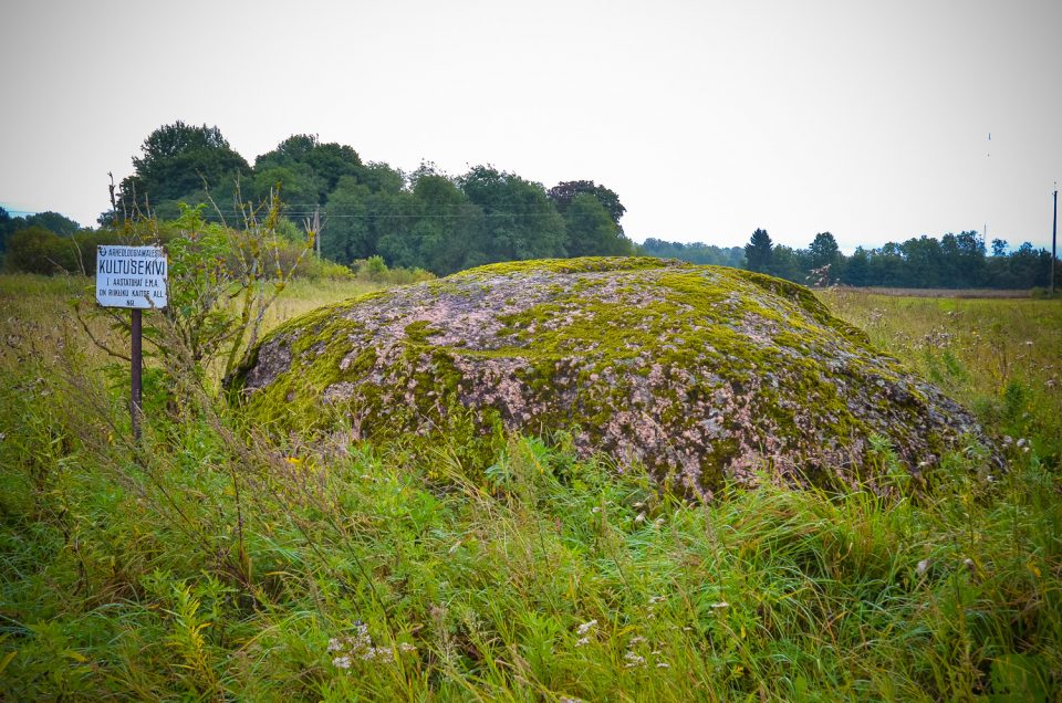
3 km S from the centre of Rucava, 150 m W from Vecvismini homestead and 36 m S from the nearest gravel road leading from Vecvismini to the Klaipēda–Liepāja highway.
Page 8 of 111
-
Project "Cult Identity" I.Ruberte L.Rezakova G.Eniņš J.T.Urtāns G.Skrabe Sēja Oak Cult place at the Dome Church E.Kristapsone Kalnaābranti Werewolf Pine Hõreda cup-marked stone 5 Devil's Stone M.Vīksna J.Cepītis E.Brastiņš A.Ancelāne K.Bukums K.Rozītis Sece Kampani' Foot Stone G.Kalniņš A.Grīnbergs I.Kucina E.Jansons Hiite Maja SA A.Klepers Stone from the Slate pine-forest J.Apals Project "Ancientsites.lv" J.Asaris Big (Devil's) Stone L.Jakubenoka 6 travelling cup-marked stones of the Vinakalns Hill A.Gusars Melkitaru trough stone A.Vasks S.Laime I.Grīnfelde B.Baika Inčukalns Devil's Cave A.Bielenstein

Šis darbs ir licencēts ar Creative Commons Attiecinājums-Dalīties līdzīgi 4.0 Starptautisko licenci.
