Places within a 10 km radius
- Alborga gravefield - 6.51 km
- Bronze age cairns in Holmsund - 5.35 km
- Site of pagan ritual deposition Lund, Nyåkerskullen - 9.15 km
- Strömsbro gravefield - 0.07 km
- The Häcklinge spring - 9.12 km
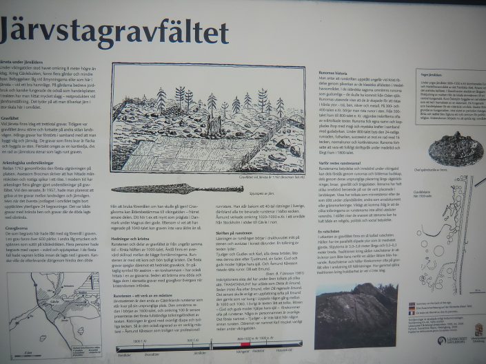
- The Järvsta gravefield - 0.04 km
- The Järvsta hillslide - 0.07 km
- The Lervik spring - 5.63 km
- The Sätra gravefield - 4.78 km
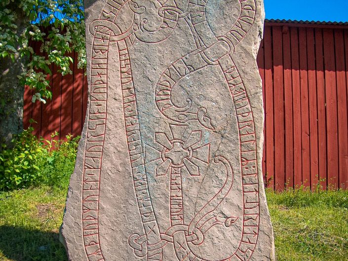
- The runic stone from Lund - 6.43 km
- The Åby gravefield - 7.82 km
Platser inom en radie på 10 km
- Alborga - 6.51 km
- Holmsund - 5.35 km
- Häcklinge källa - 9.12 km
- Järvstagravfältet - 0.04 km
- Lerviks källa - 5.63 km
- Lund, Nyåkerskullen - 9.15 km
- Runstenen från Lund/Valbo - 6.43 km
- Rutschrännan i Järvsta - 0.07 km
- Strömsbrogravfältet - 0.07 km
- Sätragravfältet - 4.78 km
- Åbygravfältet - 7.82 km
