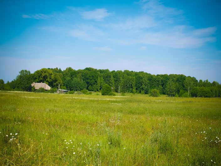
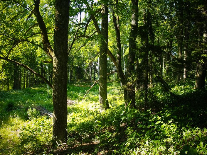
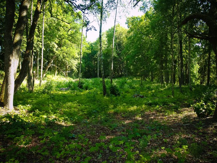
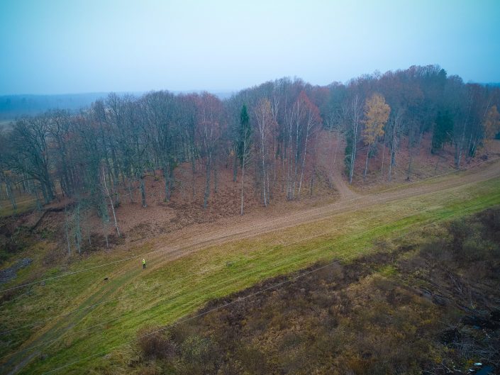
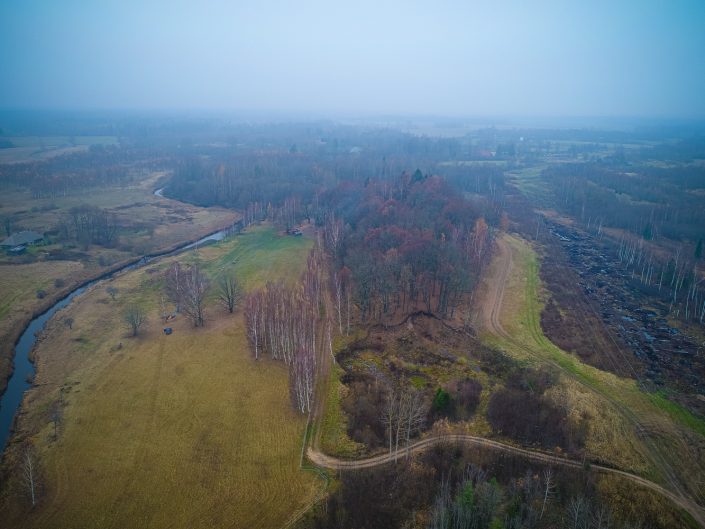
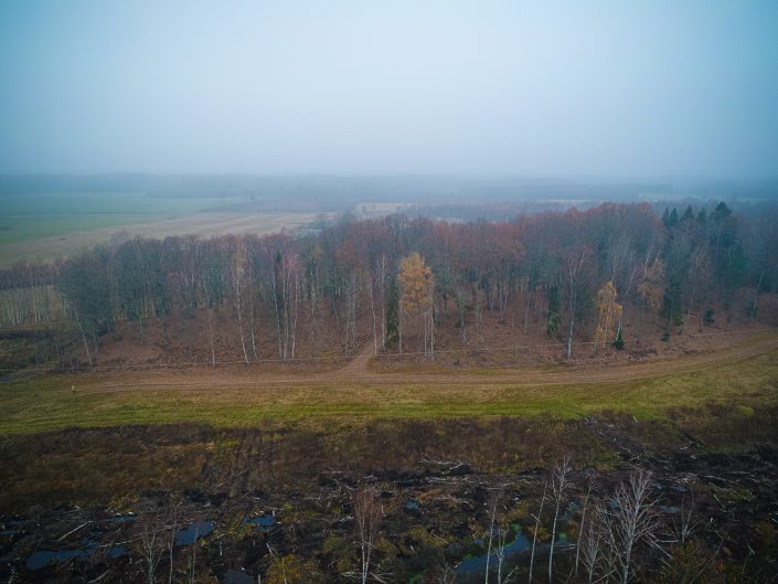
The Ungurkalns Hill is oriented in parallel to the Svētupe River in N – S direction. It used to be about 0.5 km long range, the N end of which had been transformed already in ancient times. The hill is detached already by nature, it is 8–12 m high. Along three sides of the hill, a U-shaped rampart had been made, which in the S end reaches the height of 4 m. Thus, about 80 x 40 m large plateau sloping in the SE direction is detached. In this direction the hill becomes narrower forming a natural concavity – a ditch and further it again expands slightly. The S and W ends of the expanded part had been dug off into gravel in former times. The presence of humans on the Ungurkalns Hill is proved by the cultural layer established in ramparts. According to tales, the master of the Šķirstiņi manor house nearby the Ungurkalns Hill ordered to level an area and to construct a bower. They say that in the Ungurkalns Hill, there was fortune hidden and in ancient times they found several glittering items; that during the Swedish times, there was a church on the hill, which sank into the ground during the prayer; that there was a burial ground on the hill and human bones were found. These stories relate to stories about other archaeological sites near the Ungurkalns Hill as its prolongation to the south. There used to be the Burial Hill and the Church Hill as well, but they were completely dug into the gravel already in 1960–1970. In the Burial Hill, they found a coin dated about the 17th century. The Ungurkalns Hill, which is the most distinguished site of the surroundings, has been overgrown with large deciduous trees these days, which, possibly, are related to the plantings of the Šķirstiņi manor house’s park. The meaning of the Ungurkalns Hill is unclear, but mentioning of the church in tales could be a prove about its sacral nature. (Urtāns, 1991.)

