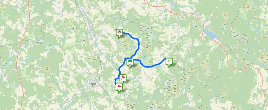
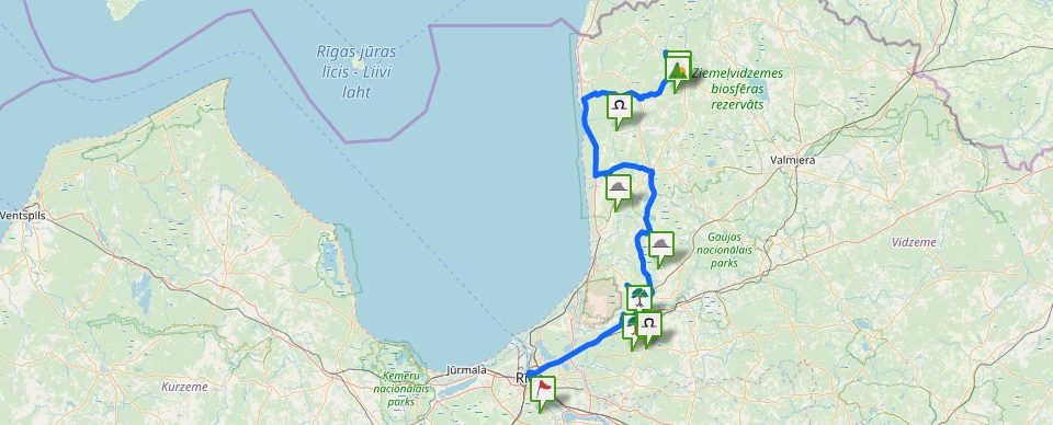
The first more comprehensive information about Sidgunda Veckalns (also Vacais kalns – the Old Hill) as a hillfort was provided by K. Rozītis in 1939. The hillfort is built in the corner where Suda and Megupe merge. The side towards the Mergupe River is particularly steep and ruined around the dam. The opposite side towards the Suda River a low floodland meadow, however the 7 m high slope of the hillfort seems artificially made steeper. The triangular plateau of the hillfort (width 60 m, length 70 m) in the E side towards the Suda River is detached by a natural boggy lowland, however towards the Margupe River it has been artificially deepened as well. The land dug out from the lowland has been thrown into a 5 m high dam, which is steep externally and more gentle towards the plateau. The dam is the highest towards S, however, in N it becomes gentler. It is possible that from this side the access to the hillfort has been limited by the boggy lowland. It seems that the hillfort plateau in earlier times was ploughed. Cultural layer has been found both in the hillfort plateau and outside it. Next to the hillfort there is an eventual chapel site with a graveyard where the coins from 16th-18th century have been found. In the recorded legends it is often indicated that a church or even an ancient Latvians’ praying hill was located in the very hillfort which sank either in the hill or into the river next to it. It seems that the stories about a later built chapel, church and/or prayer house have merged, however, it cannot be excluded that in Sidunda hillfort , as it has been found in other hillforts of the Balts, there has been a special place for a shrine (after: Urtāns, 1995).
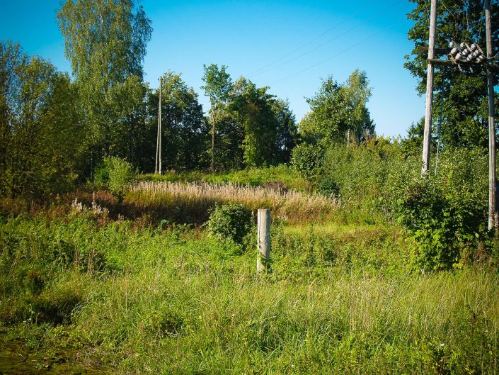
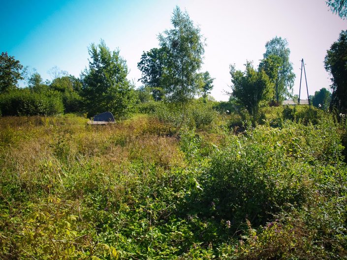
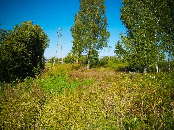
The Veckalns Hill is the oldest centre of Sidgunda and there are intentions to revive it as the centre, however, at the moment of the visit it could be found that in Sidgunda there are no indications to the hill. Similarly there are no indications to the commemoration stone of the 800th anniversary of Sidgunda placed on the Veckalns Hill in 2006. Nevertheless, the hill can be easily accessed because right next to it is a big farm which is not used, however, it is not destructed and small paved roads still lead along it. The hill itself has overgrown with long grass and bushes which are gradually, starting from the brink of the plateau and slopes taking over the hill. It is evident that the grass and bushes are also taking over the surroundings of the splendid commemoration stone on which it is written: Sidgunde 800, there is an engraved map and text “Heinrici Chronicon Livoniae 1206 – 2006”. The stone is partly polished and many holes can be perceived there, which certainly are of a natural origin – fallen out or crumbled concretions. If there was no context regarding natural holes, some of them could be perceived as artificially made ones and corresponding to the pithole stones. Across one of the sides of the hill there is a high-voltage transmission line; under it the bushes have been cut, but are starting to growing again thicker than before.
